日本気象は、風力発電開発や大気環境アセスメント、モビリティなどの幅広い分野で、ドップラーライダーを用いたリモートセンシングによる風況調査や環境影響調査を実施しています。
ドップラーライダー
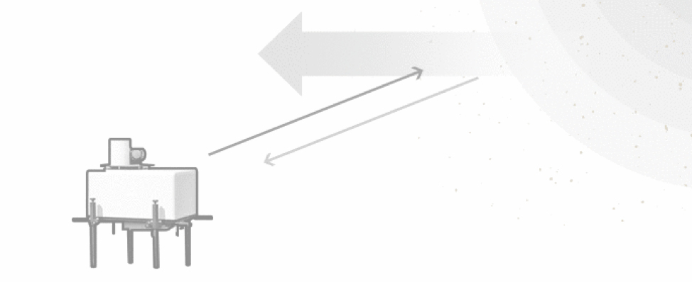
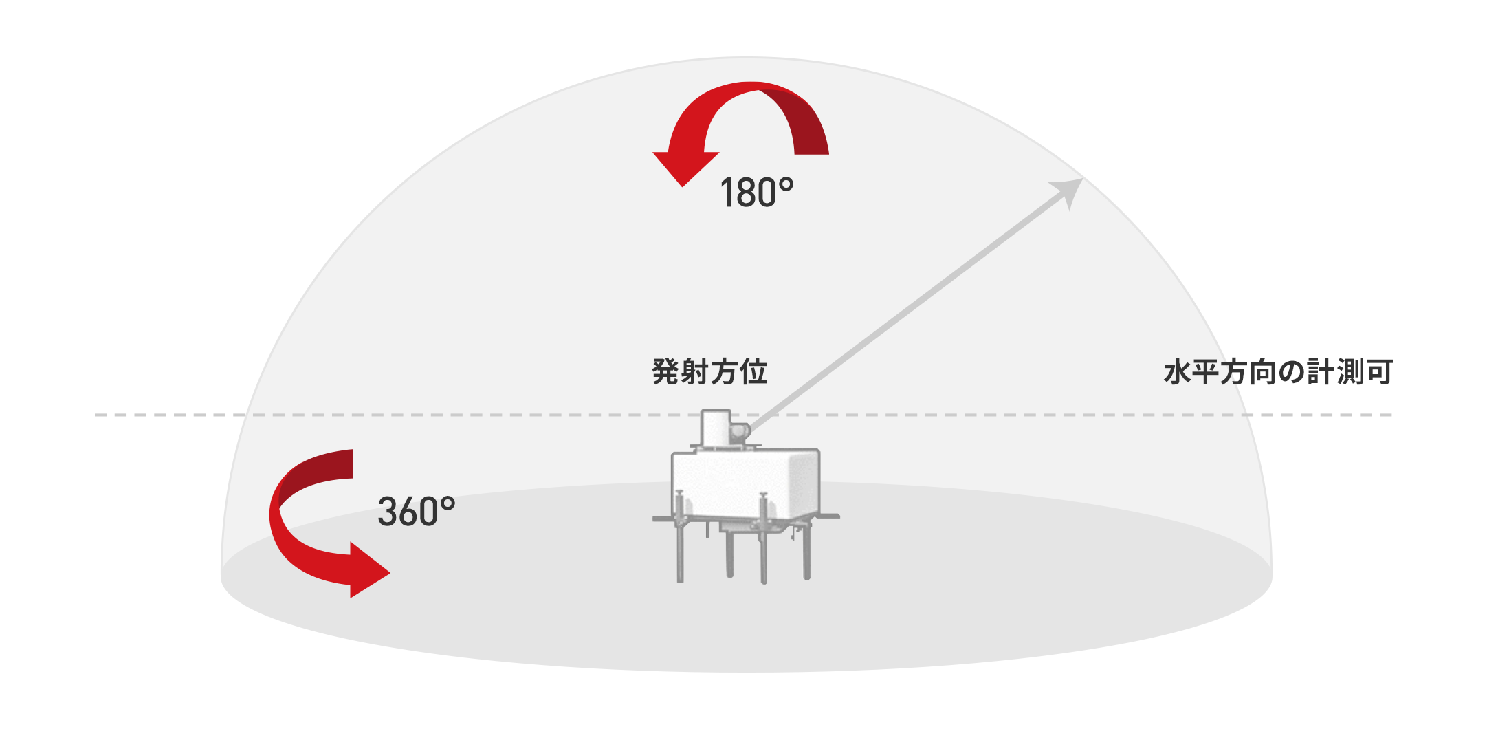
ドップラーライダーとは、光を用いたリモートセンシング技術の一つで、気象観測においては主に風の観測に使用されます。ドップラーライダーは、レーザー光を大気中に照射し、大気中のエアロゾル(見えない塵や微粒子)からの散乱光を受信します。エアロゾルは大気の動き(風)に流されることから、エアロゾルからの散乱光はドップラー効果によって周波数変位します。ドップラーライダーは、この周波数変位を検知し、エアロゾルの移動速度(風速)と向き(風向)を算出します。
ドップラーライダーの利点
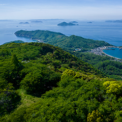
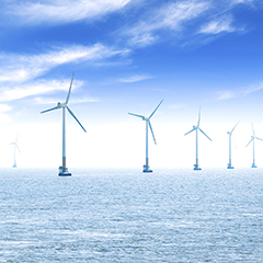
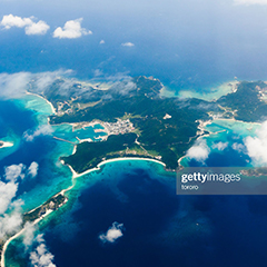
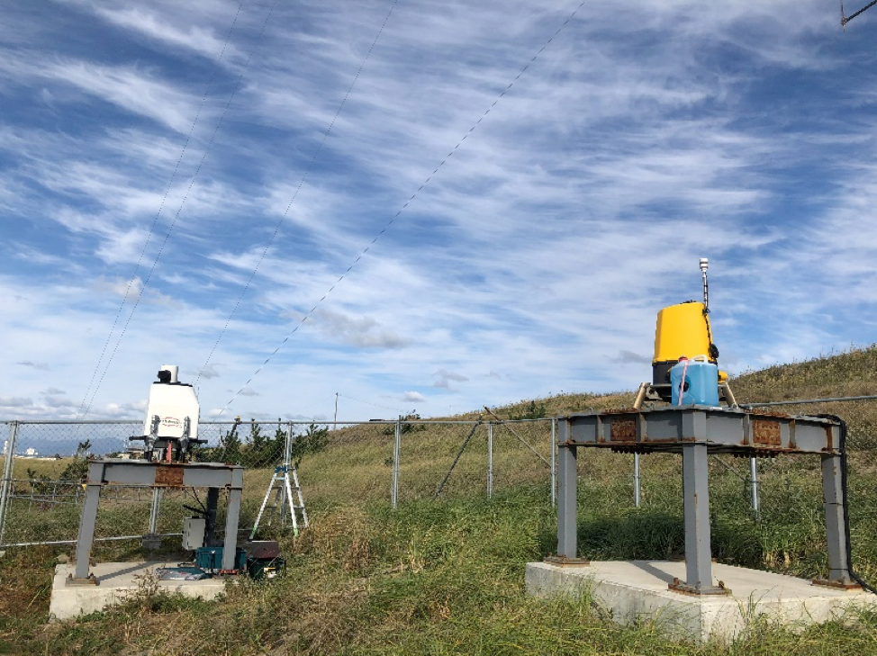
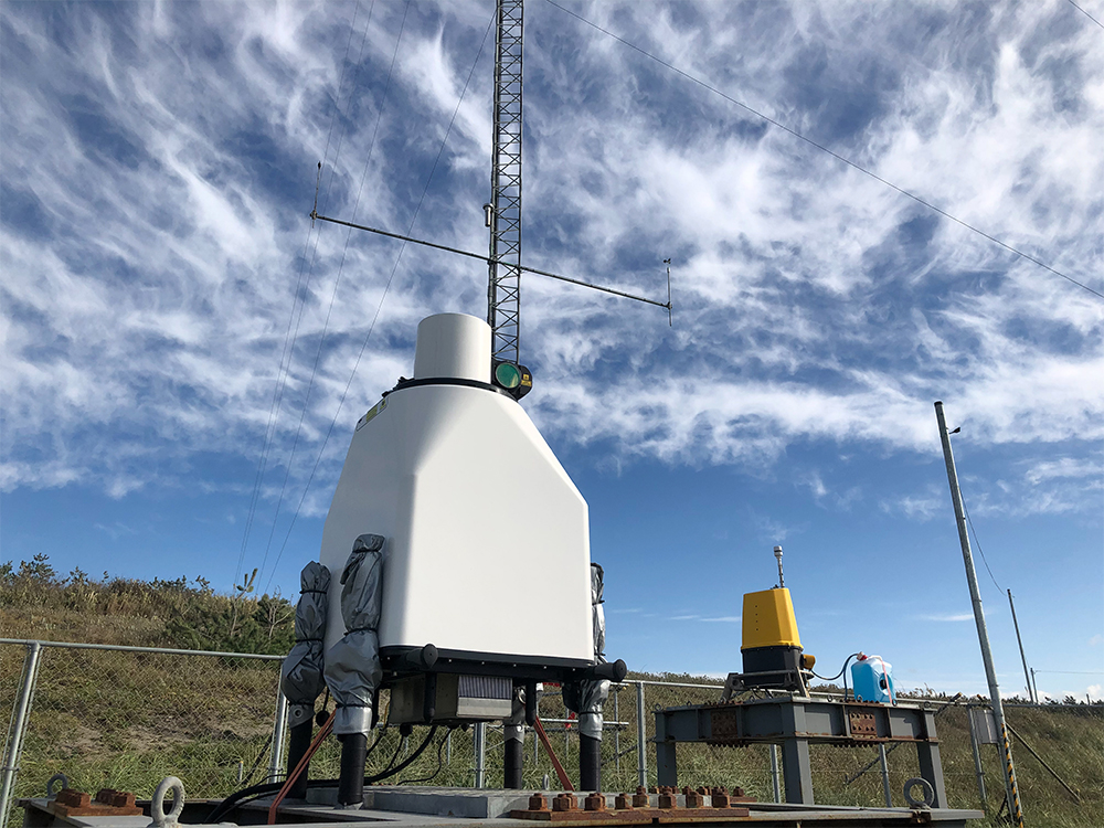
ドップラーライダーの大きな利点は、観測マストでは届かない高高度の風を観測できることです。大気環境アセスメントや風力発電開発、学術研究などの分野で広く活躍しています。また、風力発電開発の中でも、近年注目されている洋上風力発電の分野では、ドップラーライダーは陸上から洋上の風を観測できるため、活躍が期待されています。
調査事例
- 工場設置前の環境アセスメント
- 環境モニタリング
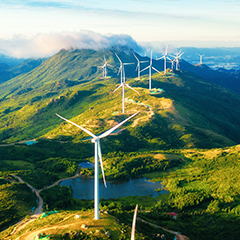
- 風力発電開発
- 大気境界層の研究
- 局地風の研究
- 風力発電開発に伴う風況調査
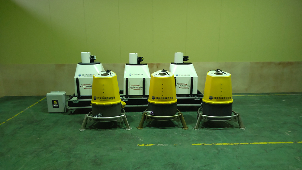
一部取扱い機種
日本気象では主に以下のドップラーライダーを取り扱っています。
下記以外の機種を用いた調査も行っていますので、詳しくはお問い合わせください。
| 機種 | メーカー | 備考 |
| Streamline AllSky XR | LUMIBIRD(France) | 全天スキャニングドップラーライダー |
| Streamline AllSky XR+ | LUMIBIRD(France) | 全天スキャニングドップラーライダー |
| Streamline AllSky LR | LUMIBIRD(France) | 全天スキャニングドップラーライダー |
| Streamline Beam 6X | LUMIBIRD(France) | 鉛直プロファイリングドップラーライダー |
| Streamline Profiler VS+ | LUMIBIRD(France) | 鉛直プロファイリングドップラーライダー |
| ZX300 | ZX Lidars(UK) | 鉛直プロファイリングドップラーライダー |
| ZX300M | ZX Lidars(UK) | 鉛直プロファイリングドップラーライダー(洋上観測用) |
| ZX TM | ZX Lidars(UK) | 水平プロファイリングドップラーライダー(ナセル搭載型) |
| WindCube | Vaisala(France) | 鉛直プロファイリングドップラーライダー |
| WindCube Scan | Vaisala(France) | 全天スキャニングドップラーライダー |
実績
- 風力発電開発における風況調査
- ごみ清掃工場建設予定地における環境影響調査
- 工場における粉塵等の環境影響調査
- 空飛ぶクルマ、スマートモビリティ運航における風況観測
- ロケット発射場における風況観測
- 放射性物質モニタリングのための風況観測
- おろし風観測
- 都市部大気境界層観測
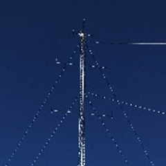
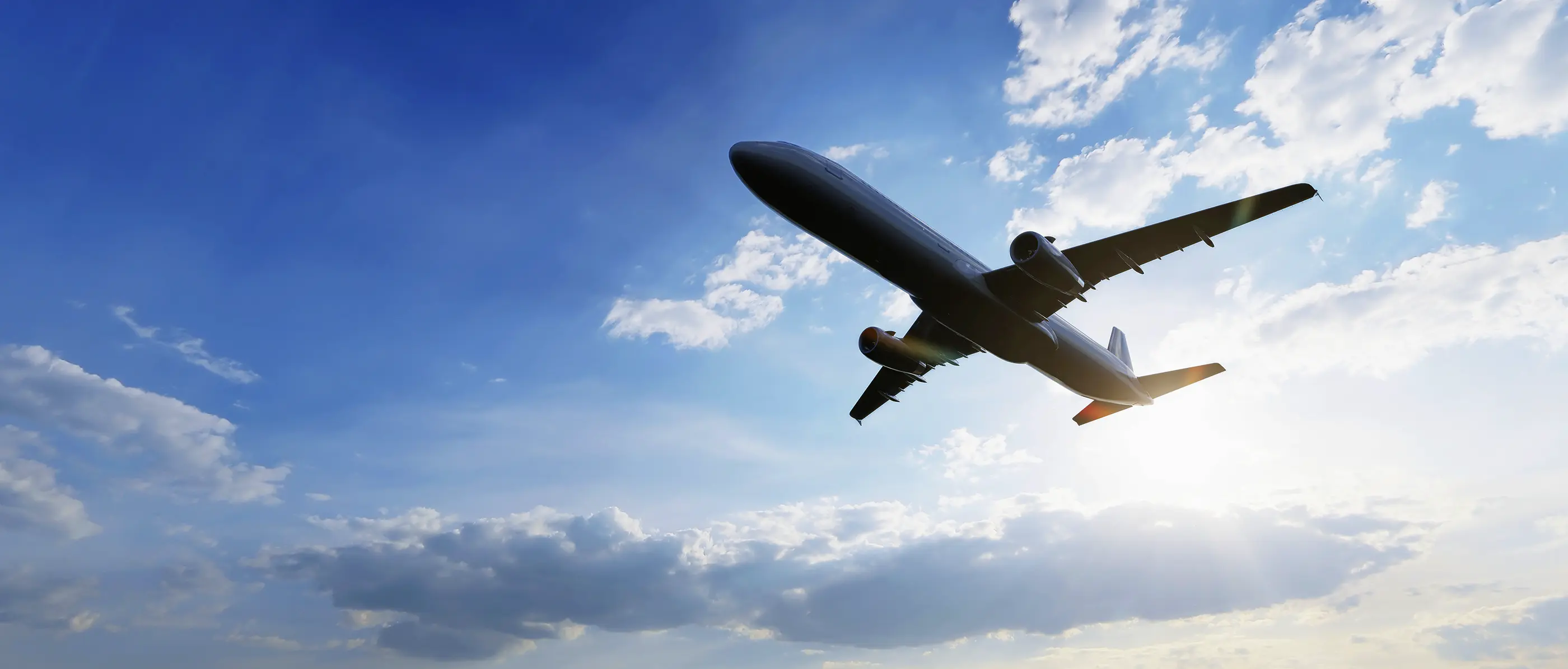
<応用> 航空機の安全な運航に貢献
ドップラーライダーを用いることで、航空機の安全運航に影響を及ぼす気流の乱れの可視化が可能となります。 例えば、航空機が移動する際には、翼端後流と呼ばれる、翼の先端から回り込む気流が発生します。 また、空港に隣接する山の斜面に当たった風は、斜面に沿って急上昇することで、山岳波という波状乱流が発生します。これらの特性を監視・把握するために、ドップラーライダーを活用することで、航空機の安全運航に貢献します。
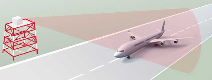
空港に設置されたドップラーライダーで
航空機の翼の先端から回り込む気流を観測